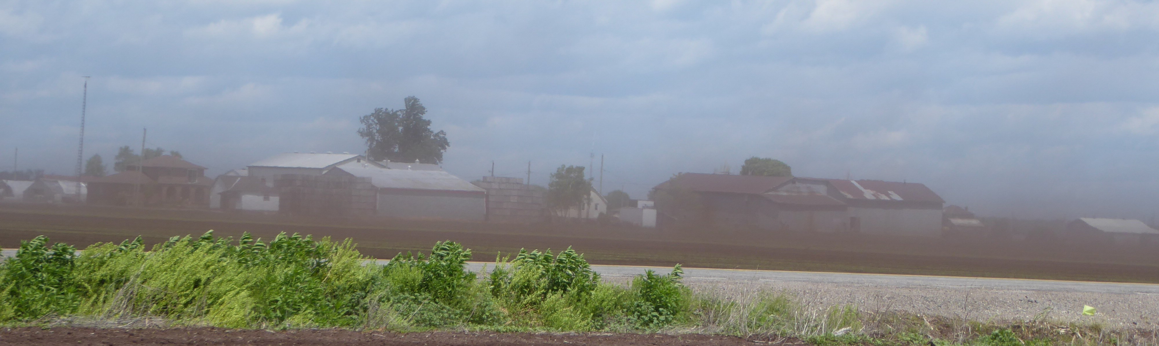
 Wind erosion occurs in susceptible areas of Ontario but represents a small percentage of land – mainly sandy and organic or muck soils. Under the right conditions, though, it can cause major losses of soil and property — and can cause off-farm problems, too. Ask your neighbours.
The rate and magnitude of soil erosion by wind is controlled by the following factors: soil erodibility, soil surface roughness, climate, unsheltered distance, and vegetative cover. You know which of these you can control.
Read more: Soil Erosion Causes and Effects
Agriculture and Agri-Food Canada has a series of Agri-Environmental Indicators, one of which is for soil erosion.
This screenshot shows the soil erosion risk in Canada (2011), for all types of erosion. Remember, this is the risk — which you can mitigate.

AAFC defines very low risk as a loss of
You can click on the image above to go to AAFC’s interactive map. While there, press the ▷ button to see changes over time.
The AAFC soil erosion risk indicator also includes a map of the change in soil erosion risk across the agricultural regions of Canada from 1981 to 2011. Click on the image to go to AAFC’s interactive map.

On a windy day, in many parts of Ontario, we can see that we have a lot of room to make progress for when they make the 2011-2031 map.
The USDA has some good numbers on wind and water erosion in the US. Their Soil Erosion on Cropland 2007 report is a very good resource. In 2007, they estimate there was 770 million tons of soil lost to wind erosion (and 960 million tons lost to water erosion).
A common number used for the weight of an “acre furrow slice” of soil (6.7 inches by 1 acre) is 2 million pounds or 1,000 tons. I don’t know if this helps to picture the loss, but that means 770 million tons is like removing 6.7 inches of soil from 770,000 acres. Or 7.6 inches shaved off of the entire state of Rhode Island.
On this map, from the USDA report, each red dot represents 100,000 tons per year of wind erosion (like losing 6.7 inches from 100 acres). The Great Lakes region has its share of red dots, an indication of what Southern Ontario might look like if included on this map.

One more visualization. Using our “tolerable” soil loss, from above of 3 tons of soil per acre per year, that is 2/100 of an inch off of our acre furrow slice each year. At that rate, you would lose your 6.7 inches in about 335 years. Well, you weren’t planning to farm that long anyway. But put it in terms of acres. If you could concentrate each year’s soil erosion loss into one block (losing the top 6.7 inches), you would be losing one acre out of each 335 acres of cropland every year.
Want to do better? There are many resources to help, including talking to neighbouring farmers whose land isn’t moving downwind or downstream. A couple of other suggestions: the Best Management Practices manual on Controlling Soil Erosion on the Farm and OMAFRA’s Soil Management web page.
Related link:
What is the Impact of Erosion on Soil Fertility? (Field Crop News)
Useful Information, your blog is sharing unique information….
Thanks for sharing!!!
farm accounting and management services
best agricultural software supplier